There are many protected areas in Georgia, some of which were established in 1912. This is not surprising. Georgia is a country of diversity in natural landscapes. Arriving here, you can see mountain ranges, plains, evergreen forests, seas, rivers and lakes. Here every traveler, especially if they are committed to ecotourism, will find a place to their taste.
Parks and Nature Reserves of Georgia
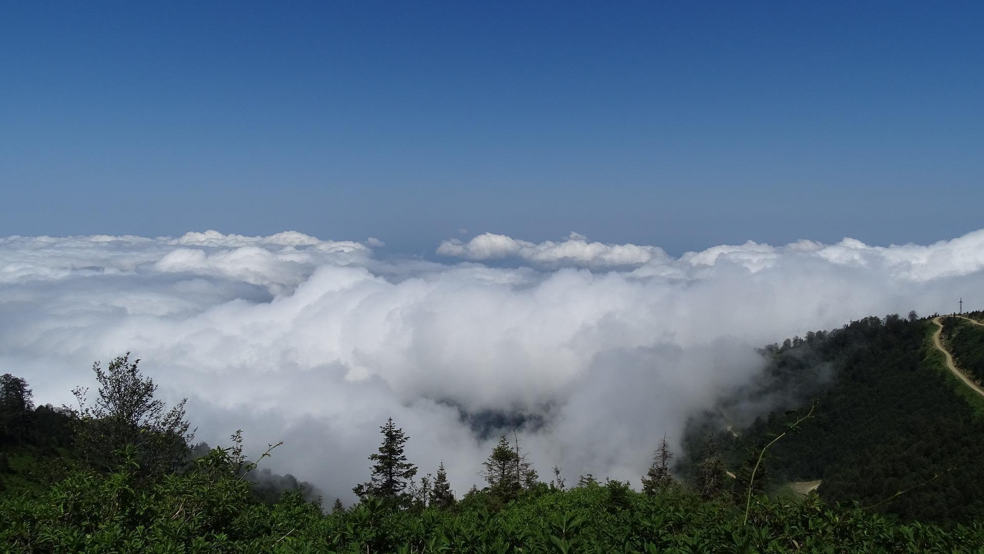
Protected areas make up up to 7% of the territory of Georgia, and about 75% of them are covered with forests. Currently, the protected territories of Georgia include an extensive and diverse collection of nature reserves, protected landscapes, natural monuments and, of course, national parks.
If you are tired of city life, want privacy and quiet, harmony in nature, we can offer you the best tours with walks in the most famous nature reserves of Georgia. Please contact us by email geogeorgia.travel@gmail.com or call by phone +995599955541.
Tbilisi national Park
Tbilisi national Park, located just 20 km from the center of Тbilisi.It was established in 1973 and is the first national Park in Georgia. In the winter it is transformed into a magical world where you will find snow Sabaduri forest!
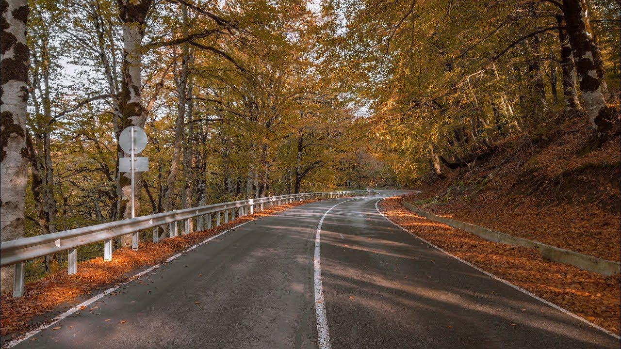
In summer, this is the best place to escape the heat, have a picnic and just relax. Tbilisi national Park also offers you camping spots to enjoy a weekend in beautiful nature. Subdorsal in the fall woods changing colors, and you get the feeling like you’re watching a beautiful picture. In spring, flowers and trees bloom, and you can enjoy a thriving nature.
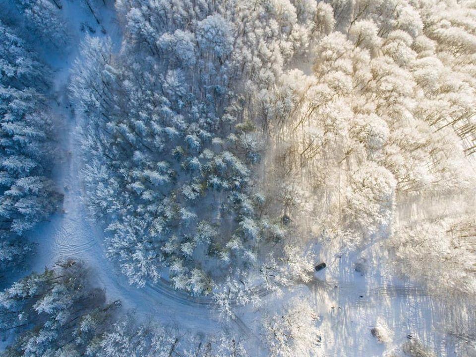
The following trails are located in the Park: 3 Bicycle routes (simple, medium, complex), one Hiking and equestrian trail-Zedazeni-Didveli-Mamkoda, as well as 2 picnics, 2 camping places and fireplaces. The Hiking trail passes through the Saguramo range, where you can find beautiful landscapes, diverse vegetation and the seventh-and eighth-century Zedazeni Church. Tbilisi national Park is waiting for you. This is a place where you can feel the beautiful nature and enjoy various activities.
Kazbegi national Park
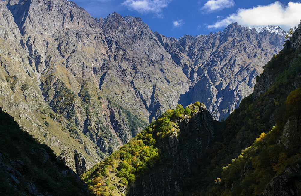
Kazbegi national Park is located high in the mountains of the Greater Caucasus, Мtskheta-Mianeti,and got its name from mount Kazbegi, the sixth highest peak in the Caucasus at an altitude of 5047 meters and one of the most famous natural attractions in Georgia. The Park was founded in 1976. You can get here from Tbilisi – just 150 km by car along the Georgian Military road, which is one of the most beautiful roads in the world.
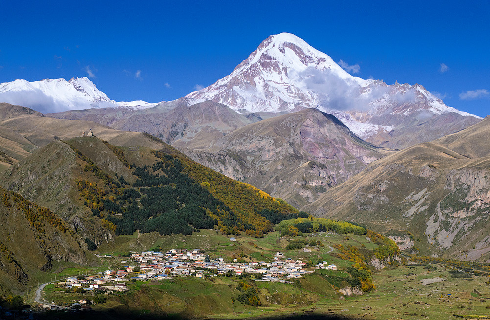
Most of the Park’s territory consists of snow-capped peaks, Alpine meadows, and jagged basalt rocks, providing an ideal habitat for East Caucasian Turks and chamois, as well as several endemic bird species such as the Caucasian capercaillie and snow rooster. Alpine meadows are full of wild herbs such as sage, thyme and chamomile, as well as rhododendron and sea buckthorn.
Kazbegi is one of the most visited protected areas in Georgia, despite the lack of Park infrastructure. The town of Stepantsminda is the nearest major settlement and is the starting point for most visitors going on a hike to the famous Trinity monastery of Gergerti.
Borjomi-Kharagauli national Park
Borjomi has become synonymous with a healthy mineral water resort and the lush green nature of Georgia. The clean environment gives the mineral water a characteristic cheese taste and is well preserved in the forests of Borjomi-Kharagauli national Park.
Borjomi-Kharagauli national Park is the first national Park in the Caucasus region (Samtskhe-Javakheti), created in accordance with international standards. It was created in 1995 with the support of WWF and the German government in order to preserve the region’s extraordinary nature, especially its virgin forests. The Park has several natural areas on the rise from 800 to 2700 meters. These zones show differences in trees from broad-leaved groves located in the lower zones to evergreen, beach and mixed coniferous groves and subalpine trees in the higher zones.
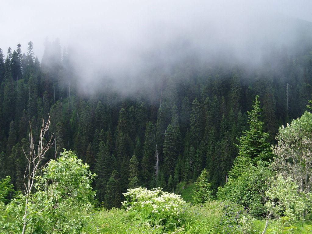
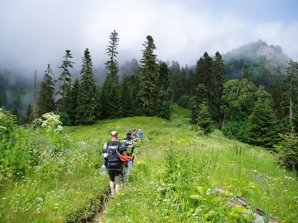
Walking along 11 trails, visitors can enjoy a stunning variety of flowering plants, breathtaking views and magical forests.
Tourists are offered to go on a one-day or multi-day hike, which can cover heights from 800 to 2642 meters. In addition, the national Park is on the migration path of many birds. in spring and autumn, visitors can see large flocks of beautiful yellowish bee-eaters that visit the Park. Also, the Park’s amazing virgin forests are home to populations of brown bear, wolf, lynx, red deer and chamois. In spring, the Park offers many pleasant surprises, including encounters with Alpine meadows full of flowers.
And in addition to all this, the surrounding villages of the Park are rich in medieval history, local Handicrafts and legendary Georgian hospitality.
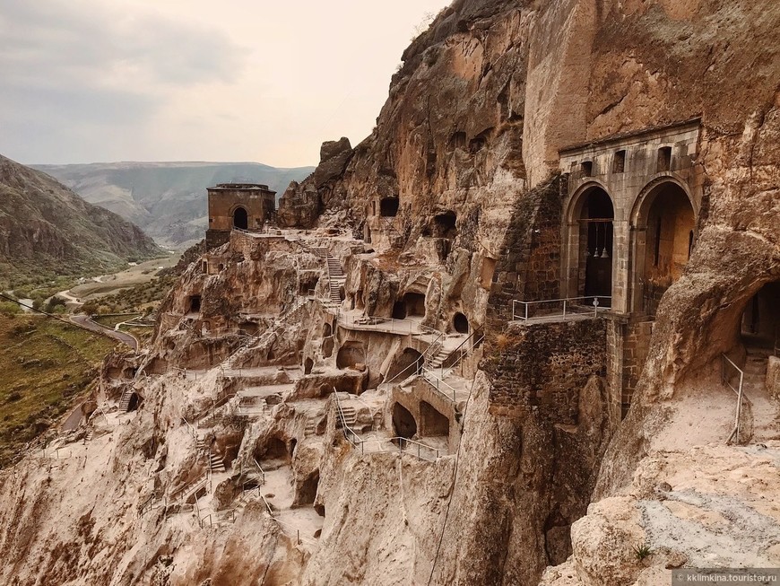
Travelers get acquainted with many ancient historical monuments here. For example, Macvanski (Green) monastery of the IX century, carved in the rock town Vardzia of XII – XIII centuries, the fortress Rabat of the ninth century the Sapara monastery of the X century, the Church of Timotesubani of the XII –XIII centuries, and many others. In the Park, you can ride horses, rent a Bicycle or snowshoes. The routes operate all year round.
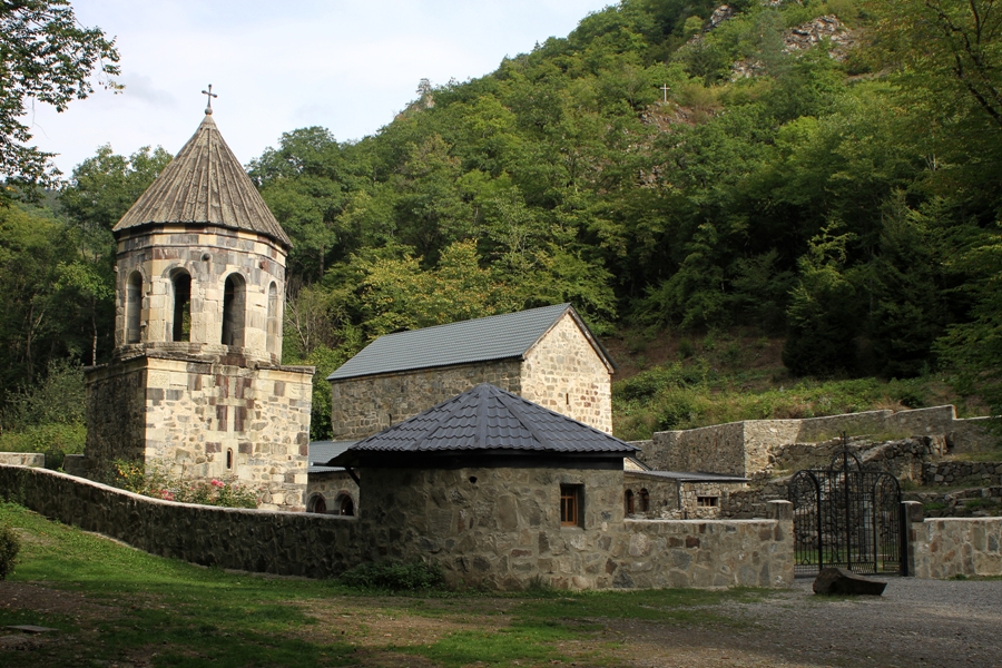
Sataplia State nature reserve
It was formed in 1935 to protect rare paleontological monuments and unique flora. The reserve is located near the city of Kutaisi, on the mountain of the same name “Sataplia”, which in Georgian means” honey ” (tapli), as this place was once famous for its bees and honey. The territory of the reserve is mostly covered with evergreen broad-leaved forests that grow so thick that they barely let in sunlight. The reserve is located at an altitude of 500 meters above sea level, so the subtropical climate is typical for this region.
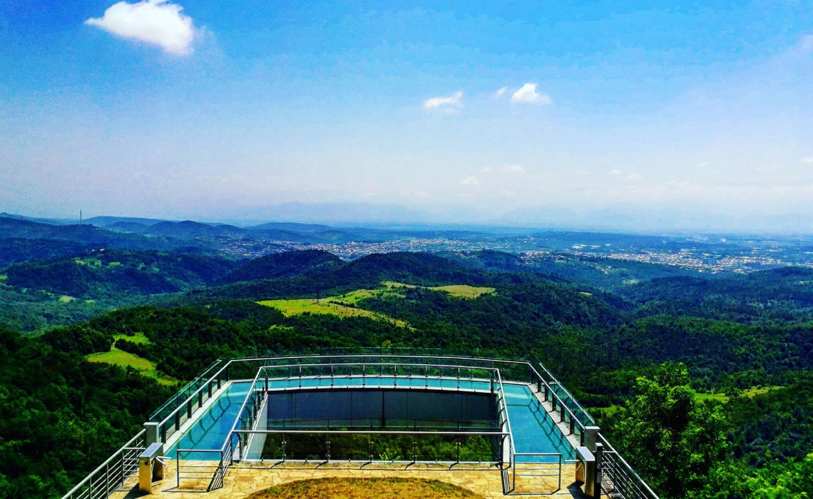
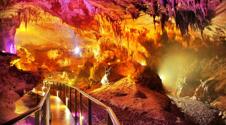
The Sataplia nature reserve in Iмеreti is widely known for its unique karst caves. The caves were formed thousands of years ago due to leaching of rocks and stretched for kilometers, they resemble a real underground Kingdom. The Sataplia cave stretches for a kilometer, where you can find stalactites and stalagmites of fantastic shapes, resembling stone waterfalls or candles. It should be noted that travelers can only move 300 meters deep into the cave. Inside the cave is decorated with colorful lights that will automatically take you to the world of fantasy. In the center of the cave is an unusual stalagmite that has the shape of a heart. According to legend, if you touch it with your hand and make a wish,it will come true.
One day is enough to visit all the attractions. Important historical and cultural sites are located nearby, such as the Gelati monastery (XII century) and the Bagrat Church (X century).
Mtirala national Park
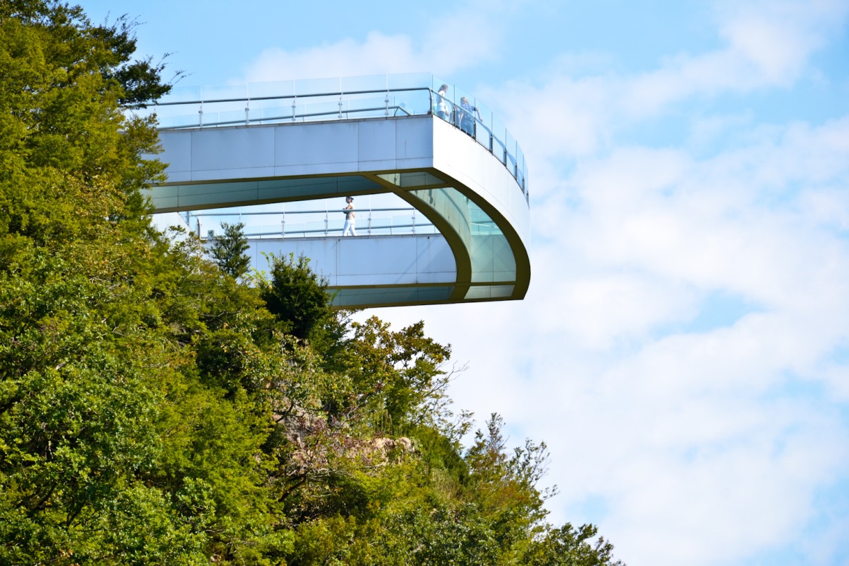
Mtrila national Park is located in the extreme Western part of the Adjara-Imereti range, near the Black sea, on the territory of Аdjara. It is approximately 300 km from Tbilisi. It was created in 2006 to protect the vast masses of Colchis ‘ forests. The administrative building is located in Chakvi, and the visitor center is located 15 km away, in the village of Chakvistavi.
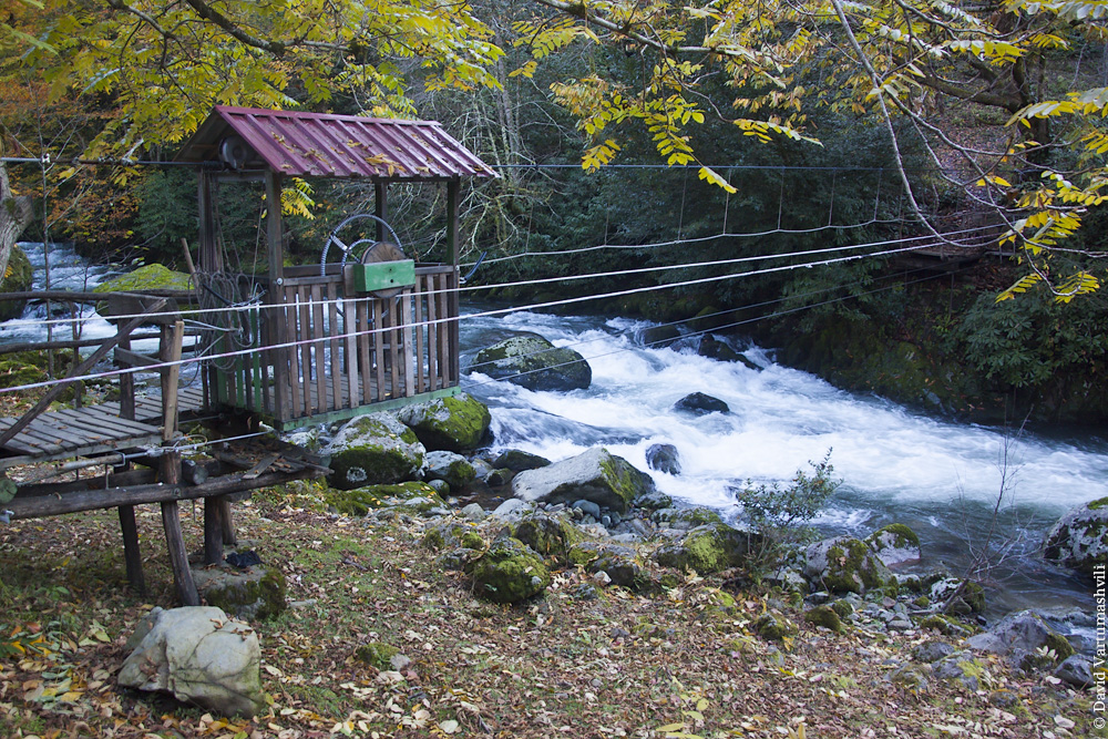
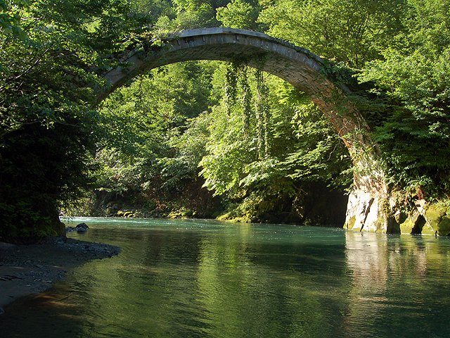
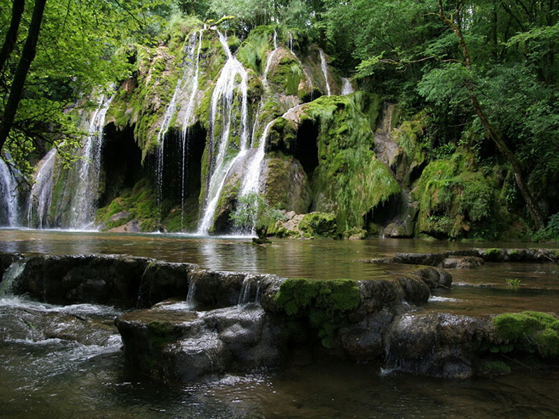
Since this region of Georgia has a pronounced subtropical climate, the reserve is always full of precipitation, fog and lush vegetation. Locals called the area “Crying mountains” because of the frequent rains. There are many animals listed in the Red book and healing mineral springs on the territory of the reserve.
People come here to go boating, horse riding, Hiking to a waterfall or an authentic village. The trails here are marked and very well equipped, there are only two walking routes that take a day or two. Here you can have a picnic and even set up a camp, build a fire. It is better to come to Mtirala in spring, summer and early autumn.
Vashlovani national Park
Located in the extreme South-Eastern corner of Georgia (Кakheti) on the plains of the Alazani river, Vashlovani is one of the most unique and spectacular landscapes in the South Caucasus. In the Park attract tourists, the eagle gorge, floodplain, Calisuri Alazani and volcanoes Takht-Type. The Park was founded in 1935. The Park is also home to Pantishara-Vashlovani, an array whose height is up to 300-600 meters above sea level.
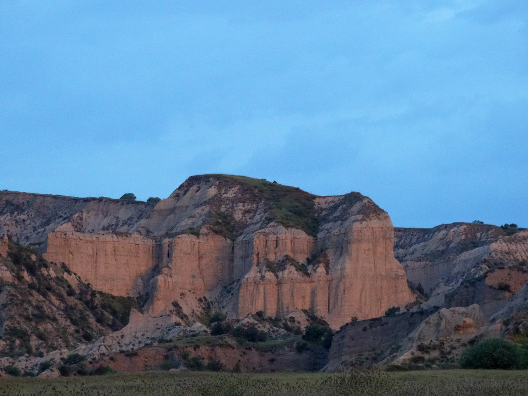
The name Vashlovani comes from the genetic similarity and distribution of pistachio and Apple trees, which leave the impression of an orchard. Both the administrative and tourist center of the Park is located in Dedoplistskaro.
There are many historical and cultural monuments: the Church of St. Elijah the V century; the fortified City of Khornabuji VI century in Dedoplistskaro; the Cave complex Dedoplistskaro, domed Church of the ascension of the X century near the village of Ozaani; the remains of the archaeological site in Cambiste 5 thousands of years; archaeological centre in the village of Tuccaro and Pirosmani Museum in village Mirzaani (where are exhibited many works Pirosmani); Bodbe Monasteries and Hirs (Sighnaghi municipality).
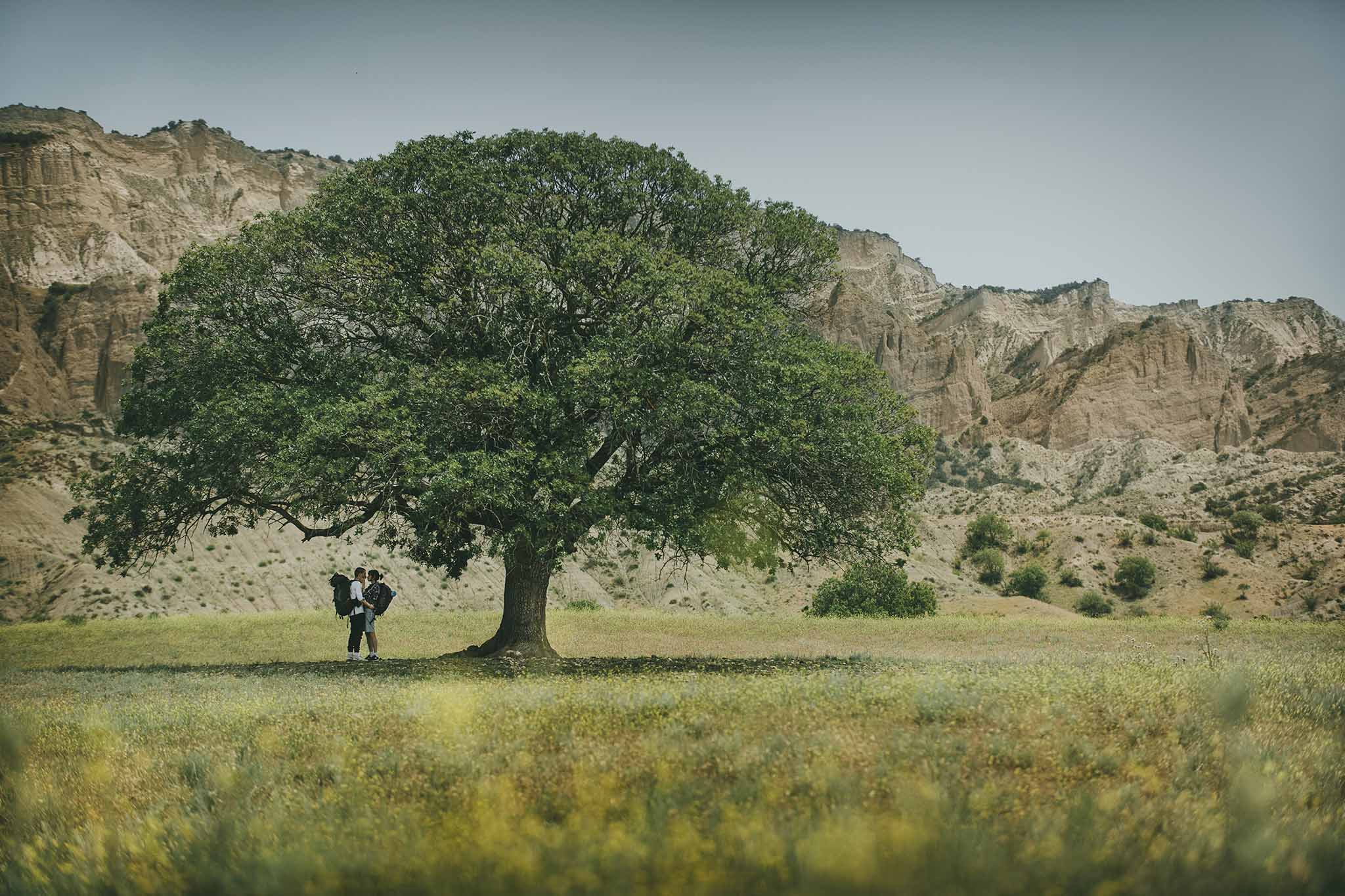
On the territory of the reserve, you can also see traces of ancient civilizations. You can find the remains of ancient cities and villages (city Horant, villages Upadana and Caldera) and the Church (the remains of the monastery of the black sea) and the fortifications (the remains of the walled city of Samohi V century; the watchtower of Pantishara and Bay Mienis).
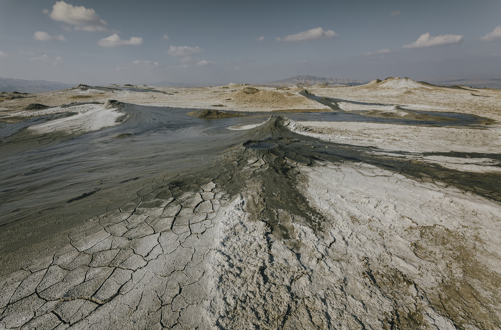
There are many different routes in the Park, and Hiking them can take from one to seven days. Picnic areas, campsites, campfires, and bungalows are located along the trails.
Please note that you need to check in at the visitor center before you go to the national Park, so you must have an ID card with you.
Colchis national Park
Located in Western Georgia (Samegrelo-Zemo Svaneti), the Kolkheti national Park includes the basin of lake Paliastomi and the Eastern coastline of the Black sea. The Park stretches across two historical parts of the country – Guria and Samegrelo. The Park was founded in 1998 to protect and maintain Colchian wetland ecosystems of international significance. The districts of the national Park are located in 5 administrative districts-Zugdidi, Khobi, Senaki, Abasha and Lanchkuti and are part of two historical parts of Georgia – Samegrelo and Guria.
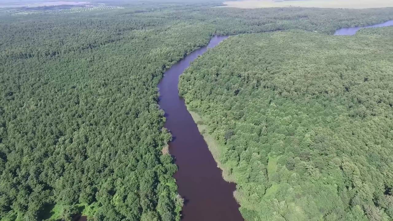
The administration of the Colchis national Park offers boat tours of lake Paliastomi and the Pichori river gorge, as well as sport fishing, bird watching and eco-educational tours. Tours are available all year round.
Visitors to the center of the national Park can help you organize a tour.
Tushet national Park
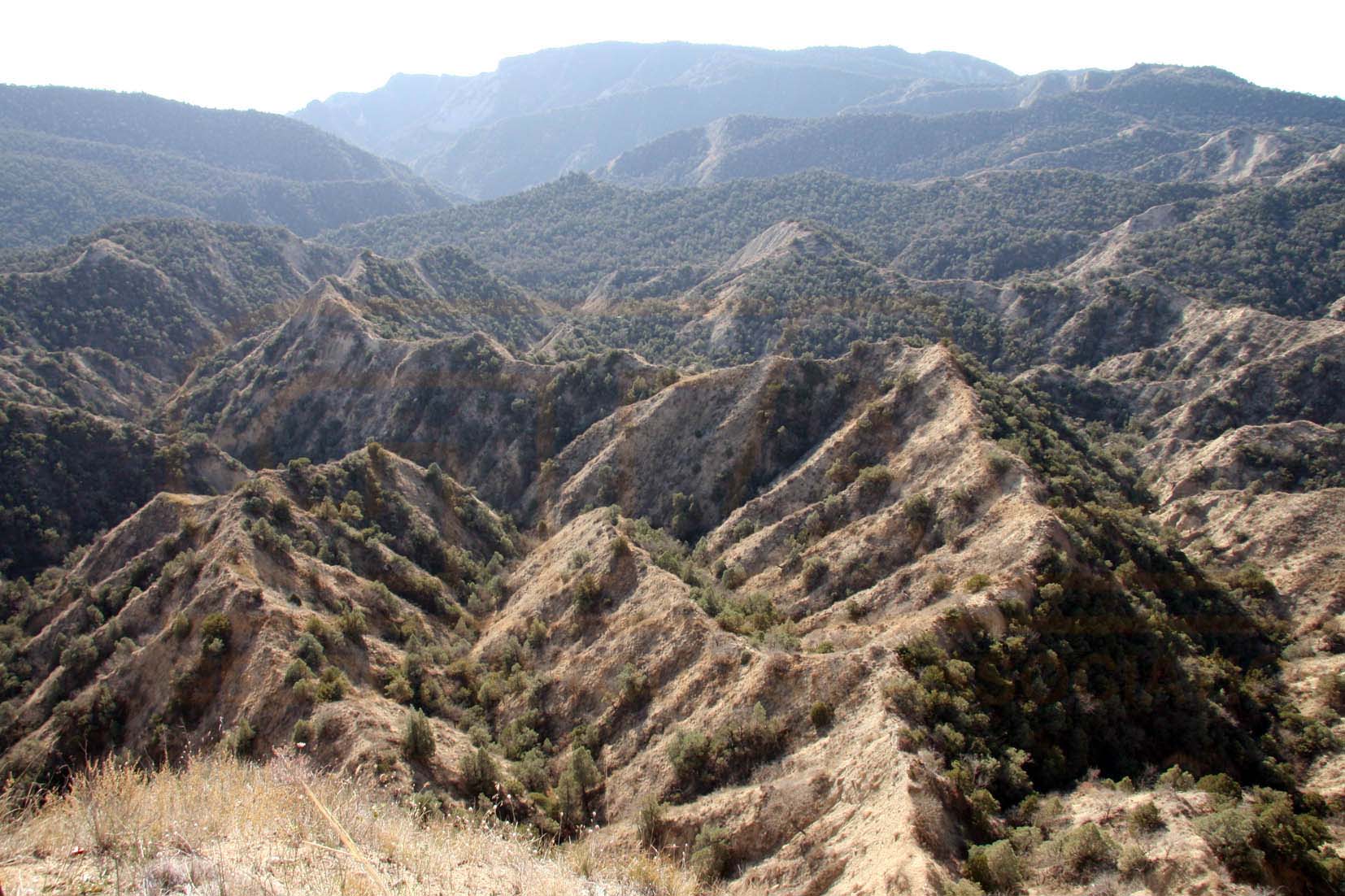
Tushet nature reserve and national Park, located in the municipality of Akhmetа (Каkheti), in the tushet basin, Eastern Caucasus, at an altitude of 900 – 4800 m above sea level. This is one of the largest and highest mountain parks in Europe. The Park was founded in 2003. It is part of the Tusheti protected area system, which also includes the Tusheti nature reserve. Tushet national Park is only 280 km away from Tbilisi.
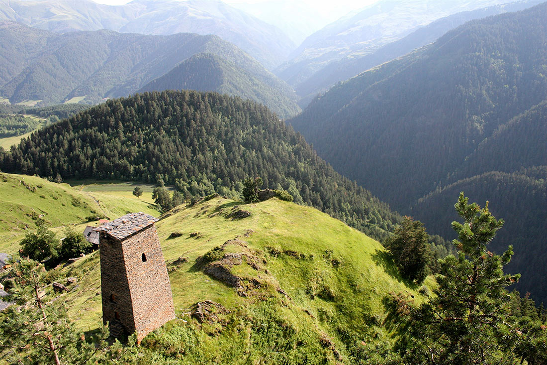
The protected areas of Tusheti are rich in historical and cultural monuments. Among them are the keselo complex (XVII-XVIII centuries), the village of Diklo castle (XVII – XVIII centuries), the Shenako Church (XIX century), the village of Nakodo, the medieval architectural complexes of Akkadam-statues in the community of Tsovati and Dartlo and Chontio, which can be reached both by car and on foot.
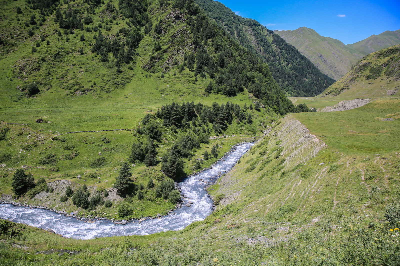
The reserve attracts visitors with pine and birch groves, rare animals, many of which are already endangered species on earth. It is home to a unique Anatolian leopard. Visitors can explore the harsh Tibetan mountains, unspoilt and wild nature, unique traditional villages included in the UNESCO world heritage list, and enjoy views of medieval defensive towers. And if you add to this a colorful local cuisine, it will be memories that you will never forget.
There are 11 active trails in the reserve, which give you the opportunity to observe and become a part of the unique historical, cultural and natural beauty of The Tusheti landscape. The tourist season here lasts from June to the end of September.
Javakheti national Park
Founded in 2011, the Javakheti national Park is part of the protected areas of Javakheti (Samtskhe-Javakheti), which is famous for several lakes on the Javakheti plateau. One of the largest of them is lake Paravani. The region is treeless, with the artificial planting of pine plantations and small fragments of natural forest.
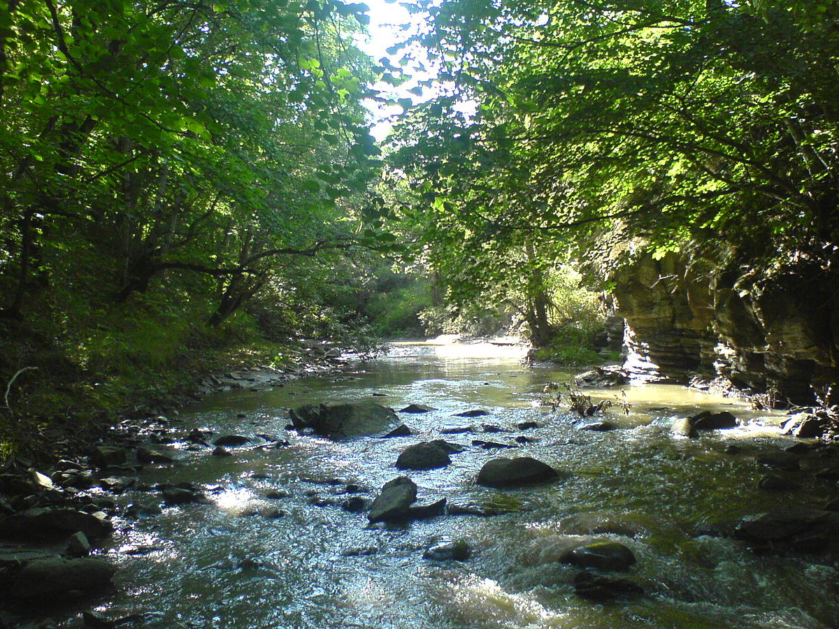
Didi Abuli mountain is the highest point of the National Park, at 3,300 meters above sea level. The higher areas of the National Park are among the coldest places in the country. The earth is characterized by a dry continental climate and a low average temperature. In winter the lakes of Javakheti are often frozen for long periods of time.
Javakheti is a treeless land. There are artificial stands of pine stands and small debris on the natural forest. The most important natural Alpine forests, consisting of white birch, Caucasian mountain ash, dogwood, raspberry bushes, are found in the vicinity of lake Kartsakhi.
Algeti national Park
The Park is located in the Tetri Tskaro district, Кvemo Kartli.
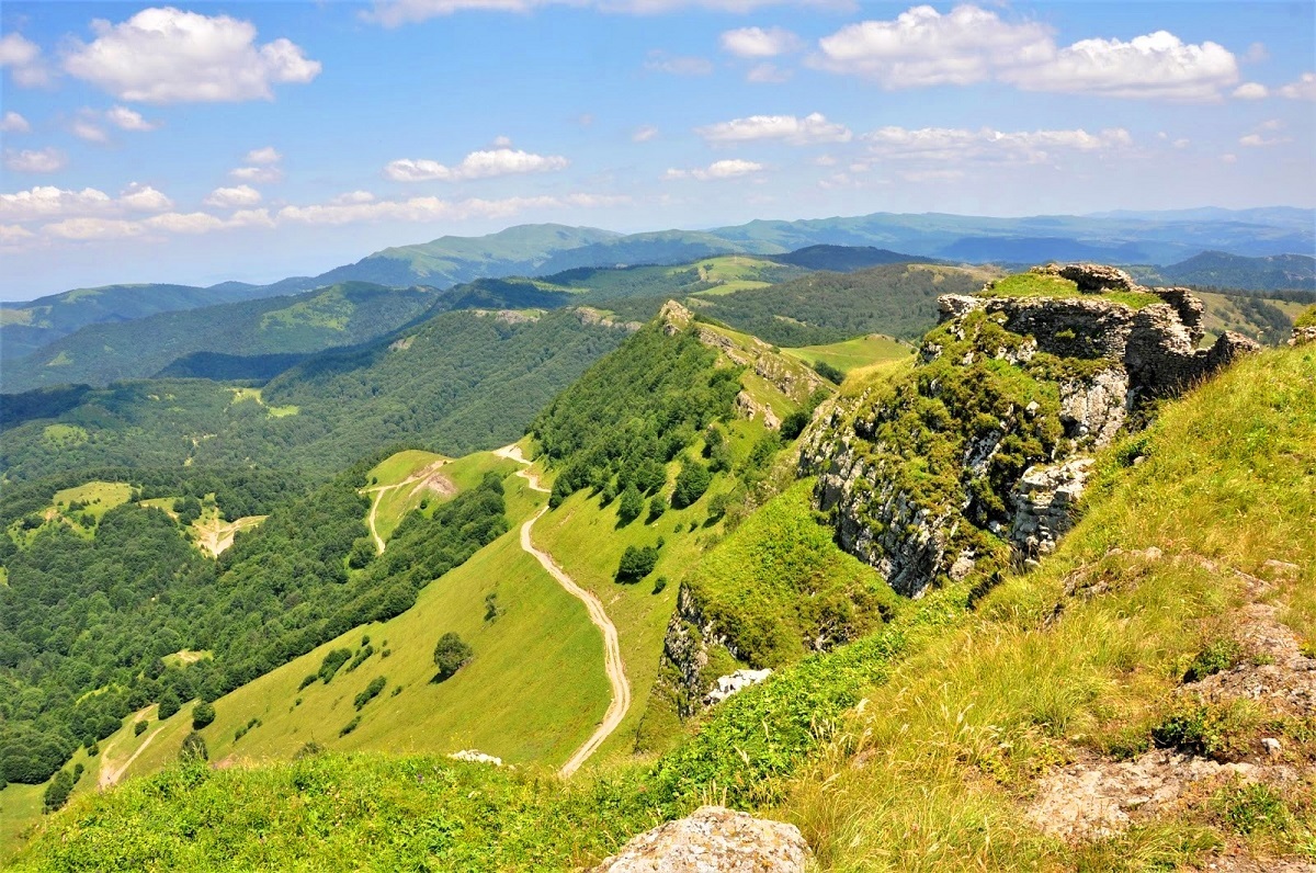
It covers the southern slopes of the Eastern part of the Trialeti mountain range in the Algeti river gorge and is located at an altitude of 1100-1950 m above sea level.
The main entrance to the national Park is located near the Cathedral of the assumption in Manglisi. The Algeti National Park administration has a small infrastructure division-a picnic area with auxiliary buildings. The tourist trail called “Sanepo Ridge” starts from the Cathedral and includes a visit to a picnic area. You can hire a guide and horses to enjoy the visit in full. Visitors can visit the national Park at any time of the year, although it is much more difficult in winter due to heavy snowfall.
The Kintrishi protected areas
Kintrishi protected areas were established in 1959 and are located in Kobuleti municipality, Кvemo-Kartli, в прекрасном ущелье реки Кинтриши. Рельеф гористый, нижняя граница заповедника начинается на высоте 450 – 500 м и достигает 2000 м над уровнем моря.
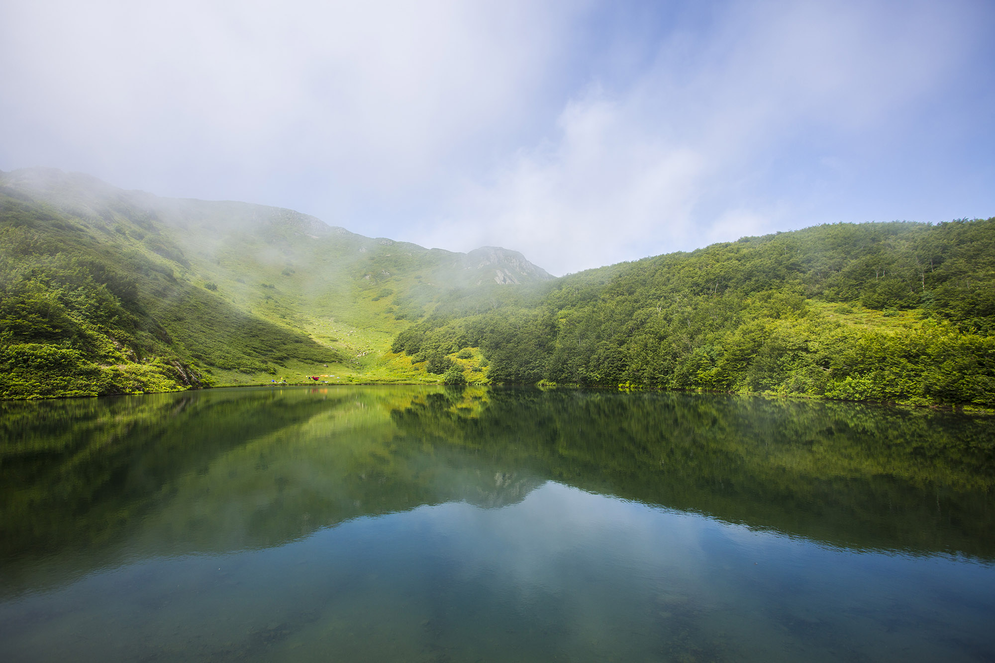
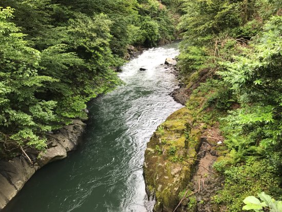
Most protected areas consist of dense forests, including relict species such as Pontic oak and Colchis boxwood – some of which are believed to be more than a thousand years old. In addition to the brown bear and several ungulates, most of Kinshtri’s biodiversity is concentrated in its rivers and streams and includes the Caucasian Salamander, newt of Asia Minor and tree frog, as well as trout, carp and Shemaya.
Kintrishi offers its visitors two Hiking trails, both on foot and on horseback, which are suitable for a one-day or two-day hike. Tourist routes are located at an altitude of 300-2000 meters above sea level. Picnic and camping areas are located along the trails. Visitors can visit the area at any time of the year.
Protected areas of Lagodekhi
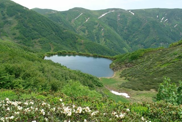
This is one of the best preserved virgin areas in the world with a variety of natural landscapes – located in Lagodekhi at an altitude of 590 – 3500 m. Lakhodekhi (Каkheti) is located on the slopes of the Greater Caucasus mountains and extends from humid and densely forested gorges to steep Alpine meadows.
The inherent value of the ancient beech and hornbeam forests with their rich diversity of flora and fauna was recognized as early as 1912, when lagodehi became the first official protected area of the region. ROE deer, wild boar and brown bear live in the forest lower reaches, and in the highlands – one of the largest populations of Turks in the Eastern Caucasus in the country (listed in the Red book). The main places to visit Lagodekhi are the impressive Ninoskhevi waterfall or a hike to the Black rocks lake, which crosses the mountain border between Georgia and the Russian Federation.
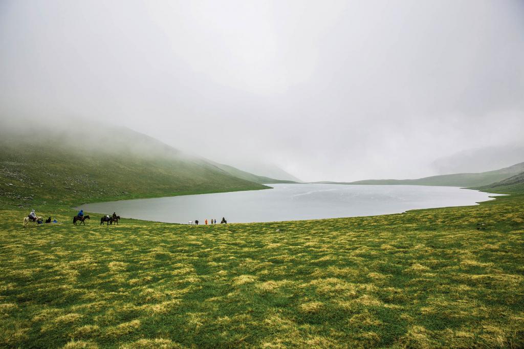
Currently, there are five exciting, safe and informative tourist routes, namely: Glukhov waterfall, Ninoshevi waterfall, machi castle, Black rock lake and the nature knowledge trail.
Choose your favorite tour to Georgia, and we will organize your unforgettable vacation in this country. Travel to Georgia with geo-georgia.com!

 geogeorgia.travel@gmail.com


